Engineering Services for Infrastructure Projects
Telecom engineering, BIM, CAD drafting, and geospatial services supporting planning, design, permitting, and construction documentation.
Engineering Production for Infrastructure Projects
Delivering telecom, BIM, CAD, and geospatial documentation with consistent quality, on-time delivery, and adherence to client standards.
Engineering Services for Telecom Infrastructure Projects
Supporting telecom contractors with aerial and underground fiber engineering, permitting, and construction documentation.
VIEW SERVICES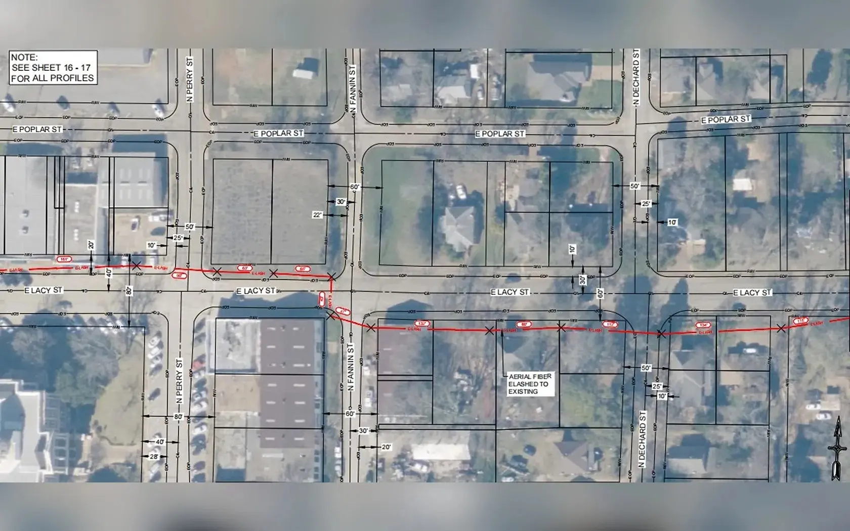
FTTH Network Design
High-level and low-level network design, routing, splice planning, terminal layouts, and construction documentation for fiber deployments.
VIEW SERVICES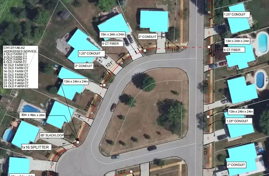
BIM Modeling
BIM modeling, CAD conversion, and existing-condition models developed from drawings, survey basemaps, and as-built information.
VIEW SERVICES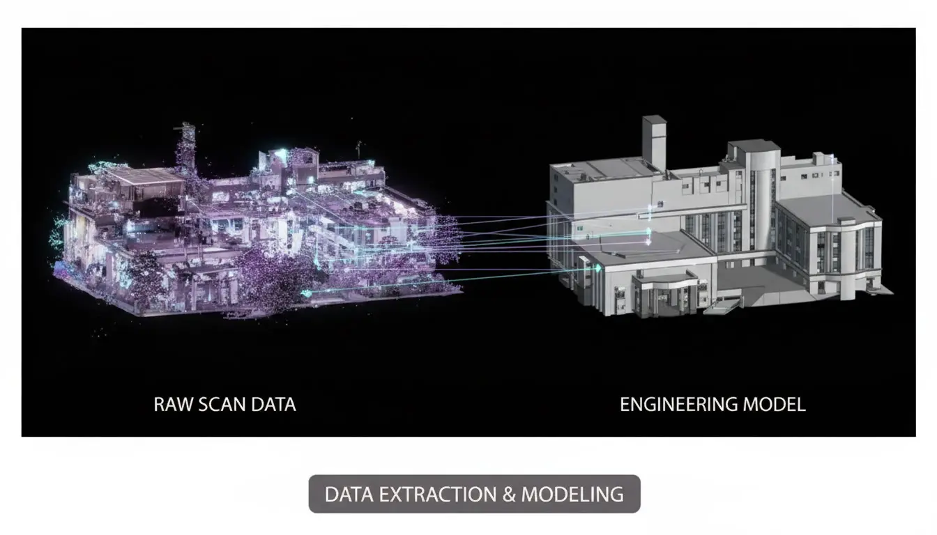
GIS Mapping & Spatial Data Services
GIS mapping, spatial data processing, and digital engineering services supporting infrastructure planning and asset management.
VIEW SERVICES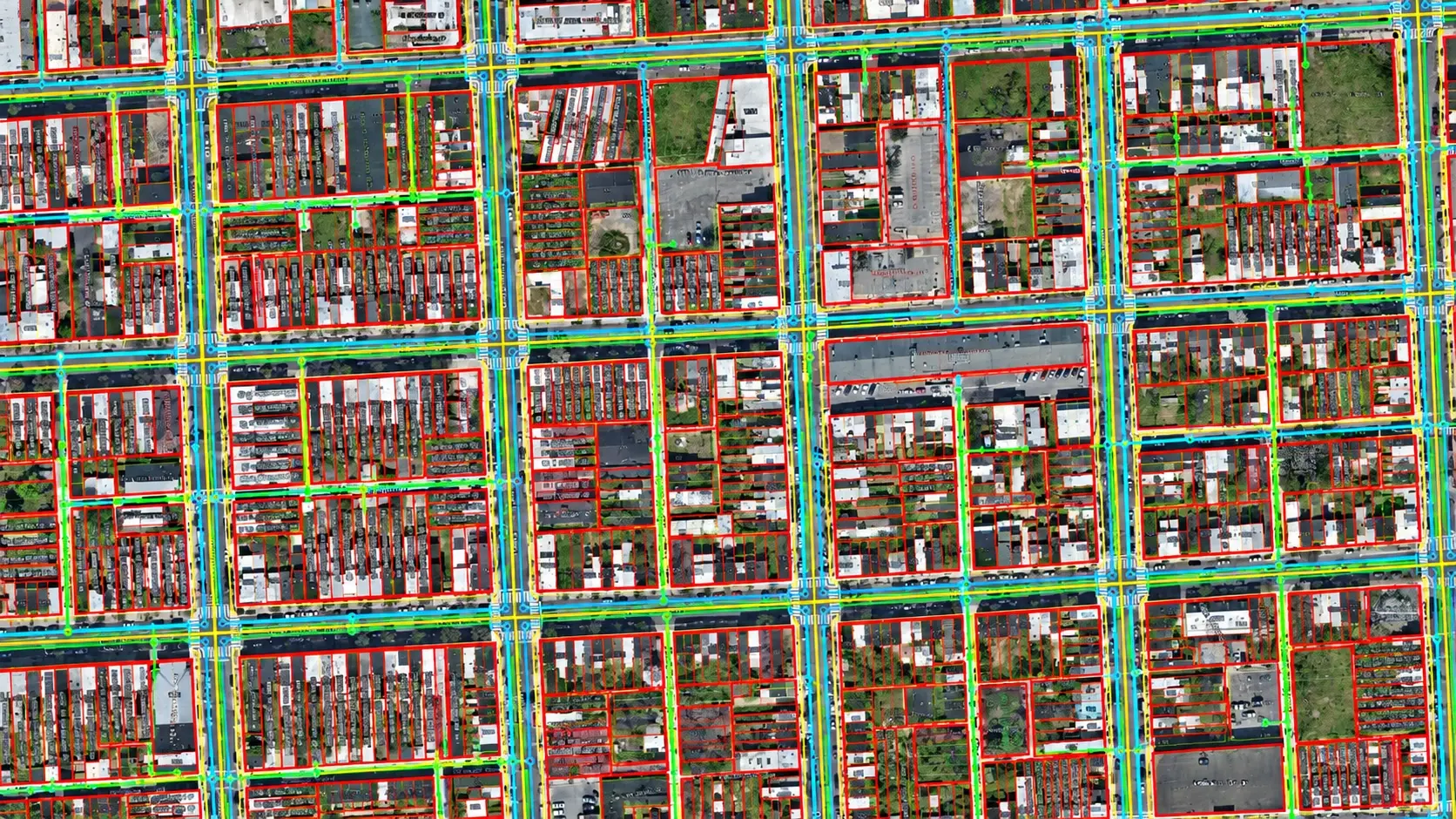
Permitting & Traffic Control Documentation
Permit-ready documentation and traffic control plans prepared for municipal, county, state, and DOT requirements, including alignment sheets, crossing profiles, construction notes, and temporary traffic management.
VIEW SERVICES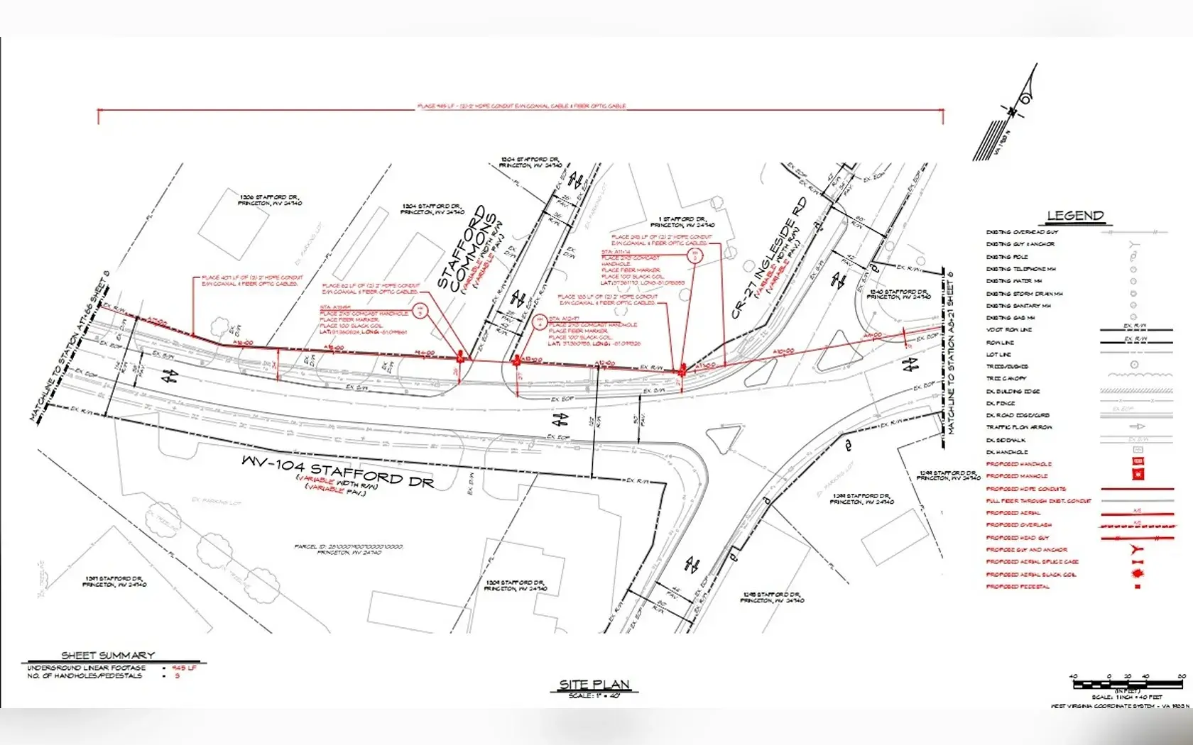
Engineering Services
Explore COMDRAFT's primary service areas for infrastructure planning, design, modeling, mapping, permitting, and construction documentation.
Telecom Engineering
OSP and fiber network design support covering route planning, HLD and LLD, permitting, construction documentation, and as-built updates.
Explore TelecomBIM Services
Coordinated BIM models and technical CAD documentation developed from drawings, survey information, point clouds, and existing-condition data.
Explore BIMSurveying & CAD Drafting
Accurate 2D drafting and technical documentation including plans, profiles, elevations, sections, details, conversions, and as-built drawings.
Explore CADGeospatial
GIS mapping, LiDAR and point-cloud processing, terrain modeling, photogrammetry, and spatial deliverables for infrastructure applications.
Explore GeospatialSupporting Engineering Work Across Multiple U.S. Regions
Our End Clients